
UAS Research
Department of Remote Sensing – University of Würzburg
Earth Observation
Our UAS Applications and Research
Our UAS (Unmanned Aerial Systems, UAV or drones) research focuses on the added value for space borne Earth Observation. UAS derived imagery are used for contributing to a better environmental understanding.
We apply UAS for specific research areas such as mandatory extremely high spatial resolution imagery e.g. mapping of flowers or for improving space-borne satellite imagery such as very high surface roughness information.
UAS based Earth Observation
UAVs allow very detailed information about our study area – not only spatial and thematic but also spectral and vertical resolution. Such very detailed analysis are valuable for small scale study areas to derived spatially explicit landscape information
UAS Sensitivity Analysis
we apply UAS data acquisitions for various applications and using diverse payloads such as thermal, Lidar or multispectral sensors.
urban applications
UAS data in urban research is applied for mapping damages, small scale vertial structure analysis or ….
Various UAS-based sensors
Thermal
The UAS based thermal sensor allows to map small scale thermal patterns and differentiate different surface properties.
Multispectral
The 5 band red-egde sensor and the 10-band Sentinel-2 equivalent sensor allows to compute a variety of indices such as for vegetation conditions
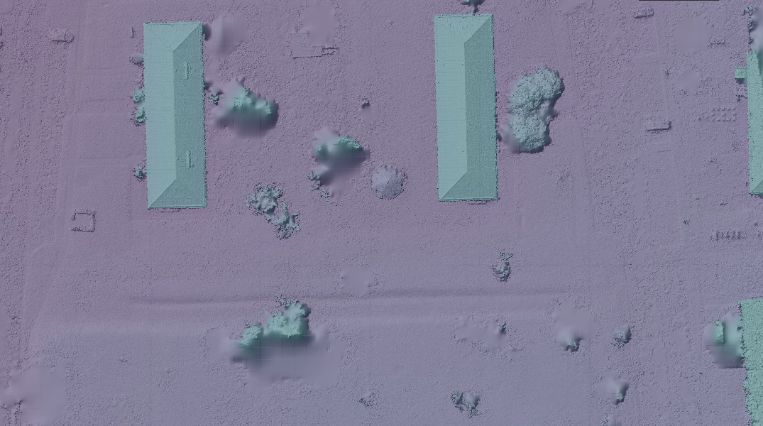
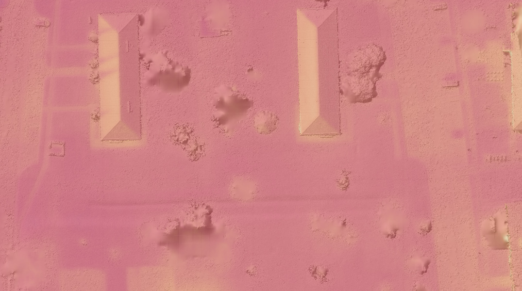
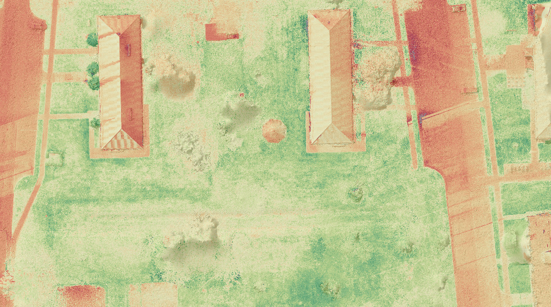
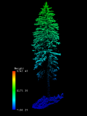
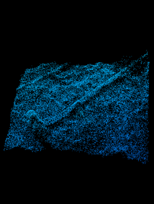
Lidar
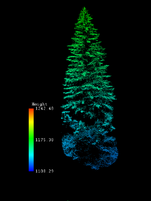
The active Lidar sensor derives the vertical structure such as height of landscape features as well as the vegetation density.
UAS Potentials (Lidar)
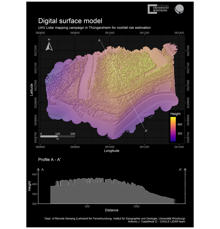
Digital Surface Model (DSM)
Information of the surface elevation (incl. vegetation)
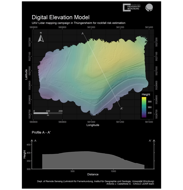
Digital Elevation Model (DEM)
Information of the surface elevatoin (without vegetation)
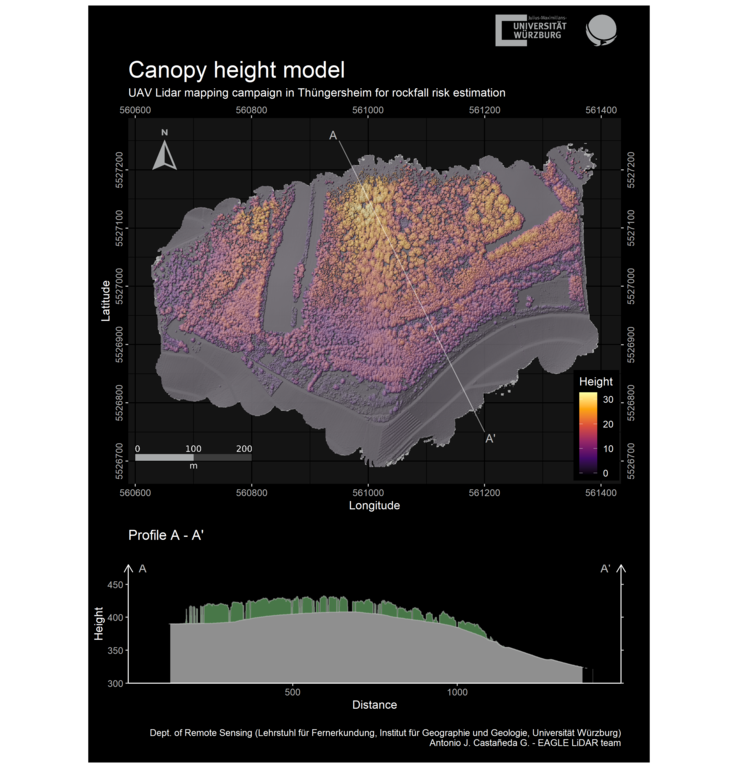
Canopy Height Model
Information of height of vegetation above soil level.
Vertical Vegetation Analysis
M300
heavy weight
5-band multispectral, thermal, Lidar
VTOL Wingtra
high airtime
5-band multispectral, thermal, high res. RGB
All our UAS operators are EU-certified Pilots
§ 21a Abs. 4 Satz 3 Nr. 2 Luftverkehrs-Ordnung
Various staff members of our Department of Remote Sensing and many student helpers hold the UAS piloting license and conduct field work with various UAS/UAV systems.
Earth Observation at the Department of Remote Sensing -Univ. Würzburg
read our news blogvisit our offical university webpageContact us
Approach us concerning collaboration for UAV based remote sensing research